Plumes in High vs. Low Winds
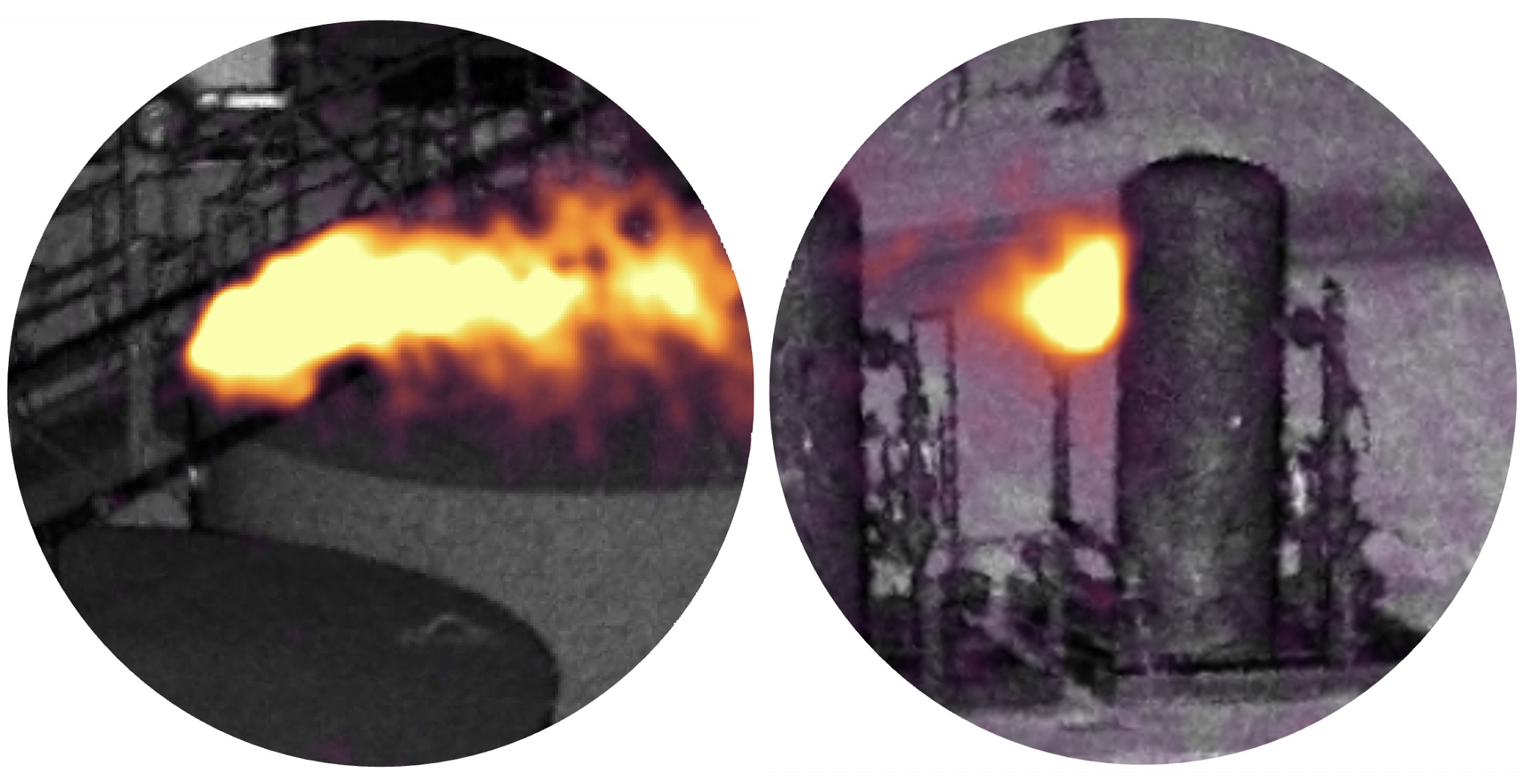
A Tale of Two Plumes… Comparing these two recent Plumes of the Week from QLM’s quantum LiDAR methane gas imaging & emissions quantification camera: The plume on the left – a super-emitting monster – isn't spreading much vertically due to relatively laminar wind flow, so point sensors near ground level often don't detect leaks from 7m-high sources like this if they are intermittently emitting during such winds. (This one is among the highest flow rates we've measured so far at METEC since early February when the blind testing campaign began). On the other hand, the plume on the right is a good example of what plumes do in very low wind conditions -- they kind of pool and linger in the air.
Yes indeed, it’s plume-o’-the-week time again! Another one from past weeks at the CSU METEC facility. Even high-volume gas releases like one this don't "float up" due to buoyancy but rather they waft around in even light winds and disperse via turbulent eddies created by nearby objects. This is why traditional means of finding leaks, especially in variable weather is such an art. But when you can SEE the plume, life gets much easier.